
A useful Huayhuash Trek map should show more than a line around the mountains. It must connect trailheads, high passes, lakes, camps and exit options in the order they are actually encountered. The classic circuit generally travels from the northern access near Cuartelhuain through Mitucocha, Carhuacocha, the southern valleys, Huayllapa, Tapush and Jahuacocha before returning toward Llamac. Short routes leave this loop early; extended routes add higher variants and rest days.
How to read the Huayhuash Trek map
The Cordillera Huayhuash is a compact north–south mountain range in Peru’s central Andes. The circuit wraps around glaciated peaks rather than climbing them. Valleys and lakes provide natural corridors, while high saddles connect one drainage to the next. On a route map, the passes are therefore the critical points: each one separates two stages and usually defines the day’s major ascent.
The official SERNANP description places the protected landscape across Ancash, Huánuco and Lima and records 21 snow-covered peaks dominated by Yerupajá. That administrative context matters because the trail crosses community-managed areas and more than one region. A single colored line cannot communicate every local access arrangement.
Use the complete Huayhuash Trek guide as the cluster overview, and pair this route explanation with the detailed Huayhuash Trek itinerary. The map answers “where does the trail go?”; the itinerary answers “what does each day demand?”
Classic circuit: route sequence at a glance
| Route section | Main pass or transition | Typical next camp/area | What the map should reveal |
|---|---|---|---|
| Cuartelhuain to Mitucocha | Cacananpunta | Mitucocha valley | First high crossing and northern side of the range |
| Mitucocha to Carhuacocha | Carhuac Pass | Carhuacocha | Shift to the dramatic eastern lake system |
| Carhuacocha to Huayhuash | Siula Pass or a selected variant | Huayhuash area | Steep ascent beside the famous turquoise lakes |
| Huayhuash toward the south | Portachuelo or Trapecio route | Viconga or Elefante area | Major difference between short and longer circuits |
| Southern valley to Huayllapa | Valley descent | Huayllapa | Lower village section and resupply possibilities |
| Huayllapa to Gashpapampa | Tapush Pass | Gashpapampa | Return to high camps west of the massif |
| Gashpapampa to Jahuacocha | Yaucha Pass | Jahuacocha | Final panoramic crossing before the lake |
| Jahuacocha to Llamac | Descent and minor saddle | Llamac road access | Exit line and meeting point for transport |
This is a planning sequence, not a navigation track. Camps may move, names have spelling variants, and a guide can adapt the route to current conditions. The future Huayhuash campsites guide will explain facilities and community sectors in greater depth.
Northern entry: Llamac, Cuartelhuain and Mitucocha
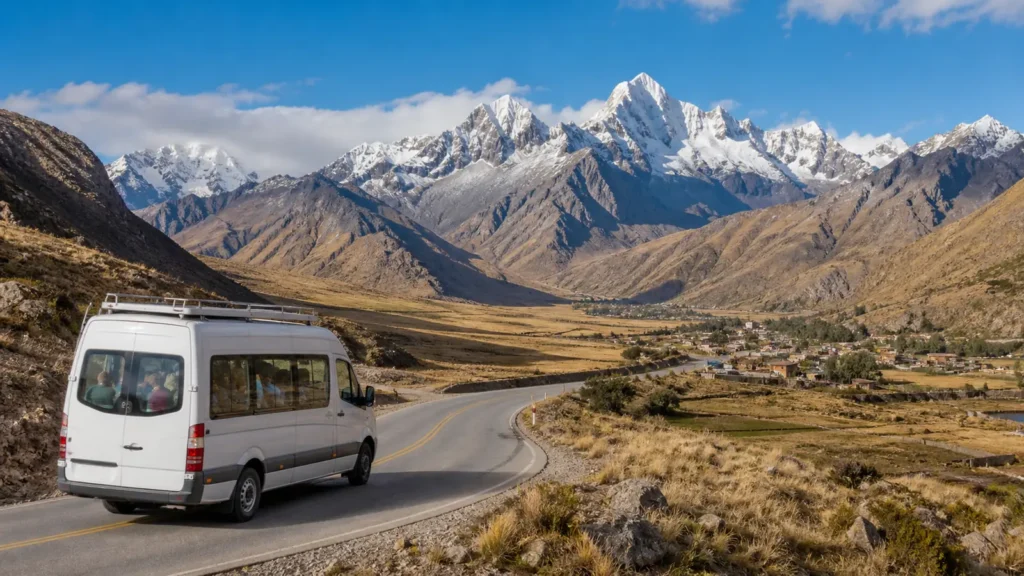
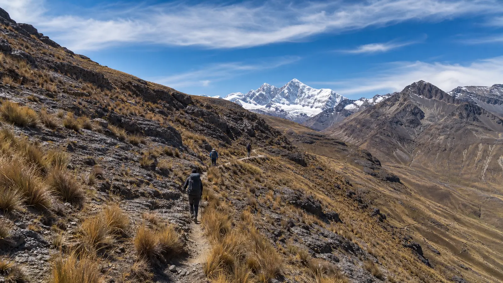
Llamac is a traditional western gateway and a common exit for full circuits. Many organized groups drive through or near Llamac and continue to the Cuartelhuain trailhead, reducing the amount walked on the access road. Maps sometimes make these names appear interchangeable, but they are separate places with different functions.
From Cuartelhuain, the clockwise route climbs toward Cacananpunta, approximately 4,690 meters depending on the mapped saddle and GPS reading. This first crossing reveals the eastern side of the range and leads toward the Mitucocha valley. The stage quickly demonstrates why prior Huayhuash altitude acclimatization is essential.
Before leaving Huaraz, verify the vehicle drop-off and first camp with the operator. The guide to getting to Huayhuash explains why a generic “Llamac transfer” is not enough information.
Eastern lakes: Carhuacocha and the Siula stage
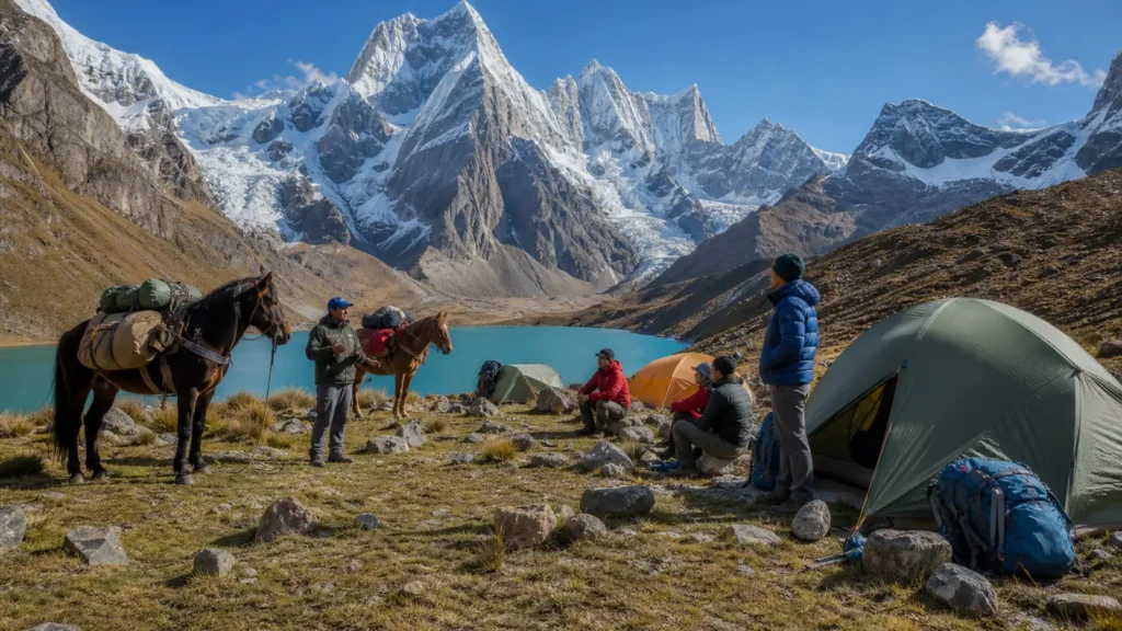
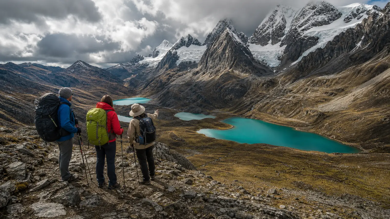
The eastern side contains the scenery most hikers recognize from photographs. After crossing Carhuac Pass—often mapped around 4,650 meters—the trail descends toward Lake Carhuacocha beneath Yerupajá, Siula Grande and neighboring peaks. Carhuacocha is both a visual landmark and an important orientation point: the next route crosses the basin toward the Siula sector.
Between Carhuacocha and the Huayhuash camp area, maps can show more than one line. The high viewpoint route near the glacial lakes is steeper and more exposed to poor visibility than a lower alternative. Track names and exact alignments vary among map providers. Treat the operator’s chosen path as a route decision, not a guaranteed attraction included by the word “Siula.”
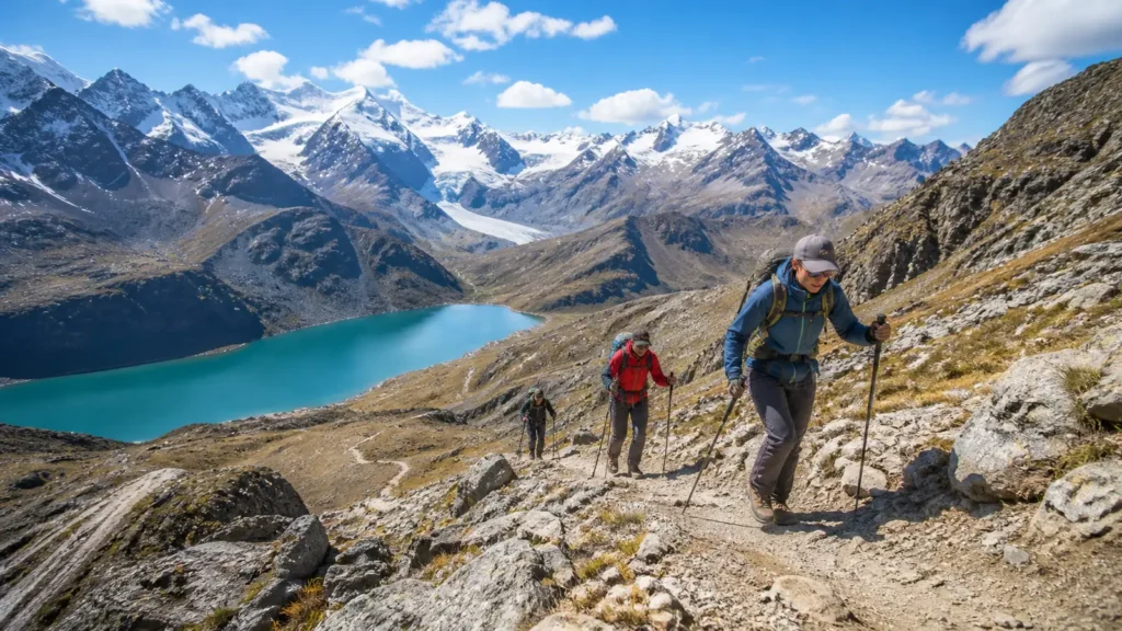
Siula Pass is commonly described at roughly 4,800 meters, but devices can display different figures. The important planning facts are the sustained ascent, loose or steep sections, weather exposure and the long descent. Read the Huayhuash difficulty guide rather than judging the day only by distance.
Southern route choices: Portachuelo, Viconga and Trapecio
South of the Huayhuash camp area, itineraries begin to diverge. The current Explora el Peru five-day route crosses Portachuelo and continues to Viconga before leaving the circuit. This compressed program delivers the eastern highlights without closing the entire loop through Huayllapa, Tapush and Jahuacocha.
The current eight-day route instead crosses Trapecio Pass toward Elefante Camp. Trapecio is a high, demanding crossing often shown near 5,000 meters. It opens views toward the southern peaks and Raura direction, then commits the group to the valley sequence toward Huayllapa. On a map, this is the fork that most clearly separates a short showcase from a fuller circuit.
Some longer programs use Cuyoc and San Antonio variants, visit thermal baths near Viconga, or add side excursions. These higher alternatives should never be selected just because a line looks scenic. Snow, erosion, rockfall, acclimatization and group ability can change the safest choice. Compare the five-day Huayhuash tour with the eight-day Huayhuash tour to see two real route structures.
Huayllapa, Tapush and the western return
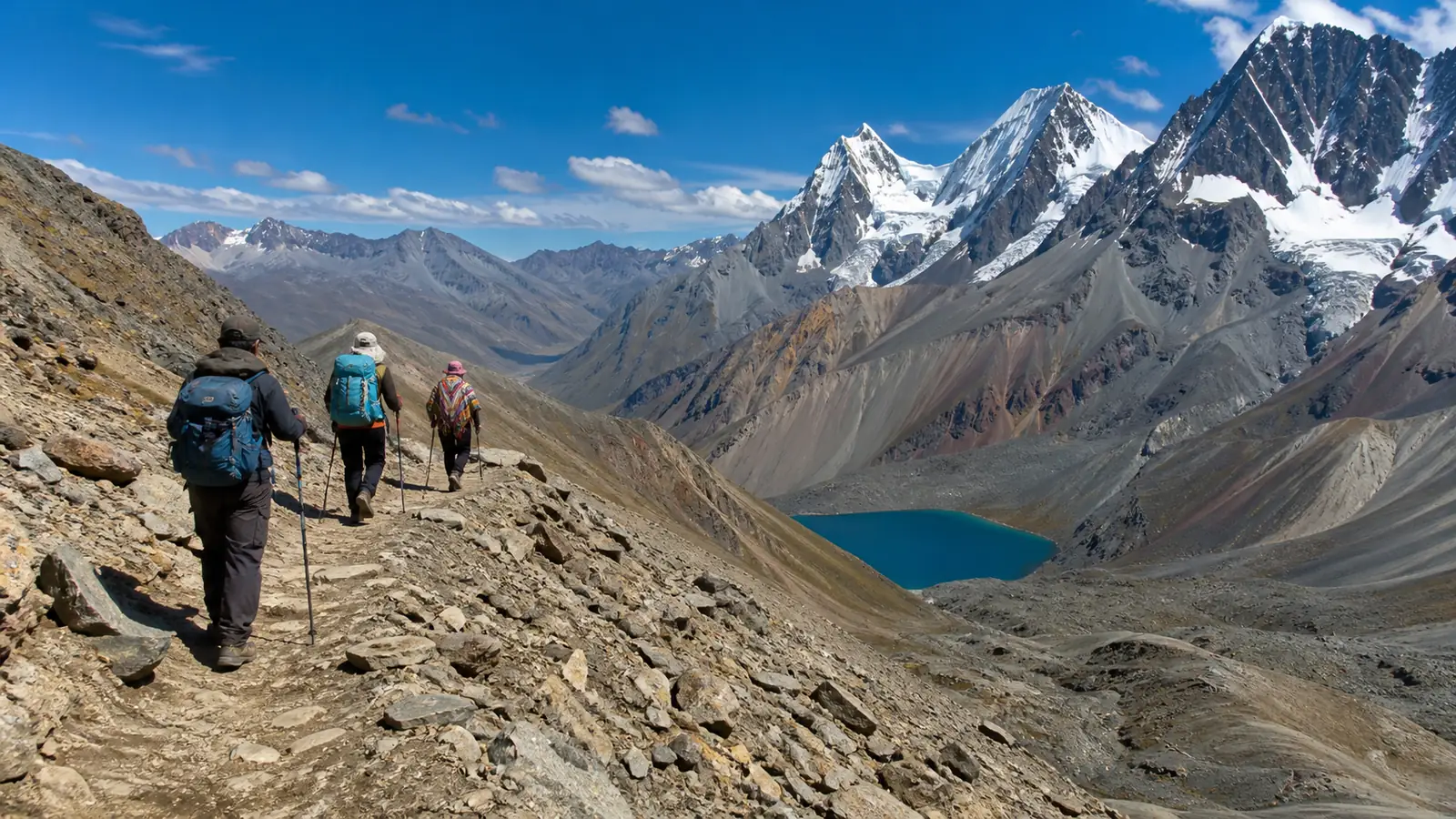
Huayllapa sits in a lower western valley and is the main village encountered by many full-circuit trekkers. The descent can feel easier on the lungs, but it is long and can be hard on knees. The trail then climbs away from the valley toward Tapush Pass, returning hikers to sustained high-altitude travel.
Tapush is frequently listed around 4,800 meters. Beyond it, itineraries use camps in the Gashpapampa or adjacent sectors before crossing Yaucha Pass, also commonly mapped near 4,800 meters. The descent from Yaucha reveals the Jahuacocha basin and the northern giants of the range—a strong visual confirmation that the loop is nearing completion.
Jahuacocha is not the end of every footpath. Most groups still need a final descent to Llamac, where road transport returns to Huaraz. Keep the exit track and pickup point stored offline. A route file that ends at the lake leaves out an operationally important part of the journey.

Approximate elevations of the main passes
| Pass | Planning elevation | Route role |
|---|---|---|
| Cacananpunta | About 4,690 m / 15,387 ft | Northern entry toward Mitucocha |
| Carhuac | About 4,650 m / 15,256 ft | Connection to Carhuacocha |
| Siula | About 4,800 m / 15,748 ft | Eastern lakes to Huayhuash sector |
| Portachuelo de Huayhuash | About 4,750 m / 15,584 ft | Short southern connection toward Viconga |
| Trapecio | About 5,000 m / 16,404 ft | High southern crossing toward Elefante |
| Tapush | About 4,800 m / 15,748 ft | Western climb beyond Huayllapa |
| Yaucha | About 4,800 m / 15,748 ft | Final major crossing toward Jahuacocha |
Elevation note: These figures are intentionally approximate. Different maps may label a nearby saddle, round the contour, use different vertical data or record a GPS point several meters from another source. Plan conservatively and follow the current local route. The future Huayhuash mountain passes guide will examine each crossing in detail.
Five days, eight days or a longer circuit?
Five-day eastern and southern traverse
A five-day program connects Cuartelhuain, Mitucocha, Carhuacocha, Siula, Huayhuash, Portachuelo and Viconga. It does not close the classic loop through Huayllapa, Tapush, Yaucha and Jahuacocha. It is shorter in calendar time, not an easy introduction: major passes arrive on consecutive days.
Eight-day circuit
An eight-day route can continue through Trapecio, Elefante, Huayllapa, Tapush, Gashpapampa, Yaucha and Jahuacocha before descending to Llamac. It covers more sides of the massif and produces a true circuit shape. Daily recovery is still limited, so fitness and acclimatization remain decisive.
Ten- to twelve-day variants
Longer itineraries can add rest, side viewpoints or alternative passes and distribute the workload more gently. “Longer” does not automatically mean harder. Extra time may reduce daily pressure and allow flexibility when weather closes a high route. Compare total ascent and pass selection through the future Huayhuash distance guide, not only the number of days.
Clockwise or counterclockwise?
Clockwise travel is common because it creates a logical progression from the northern trailhead toward the eastern lakes, southern valleys and western return. It also aligns with the route sequence used by Explora el Peru’s current five- and eight-day programs. Counterclockwise travel is possible, but it changes ascent profiles, camp timing and transport logistics.
Do not reverse a downloaded track casually. A manageable descent can become a difficult ascent; the group may reach community checkpoints at different times; pack-animal logistics may be designed for the standard direction. Confirm route direction before comparing elevation profiles.
Why route distance changes between maps
Published totals can differ substantially without one map being fraudulent. MINCETUR’s official tourism inventory describes a principal circuit of approximately 165 kilometers, while shorter commercial circuits use selected sections and road exits. Other route summaries measure a classic walking line closer to 120–140 kilometers.
Differences arise from the trailhead, map smoothing, lake viewpoints, high-pass variants, camp detours, village entries and whether road sections are included. Record the exact itinerary and route file used for your departure. A broad regional statistic cannot predict one group’s daily kilometers.
Navigation system: use three layers
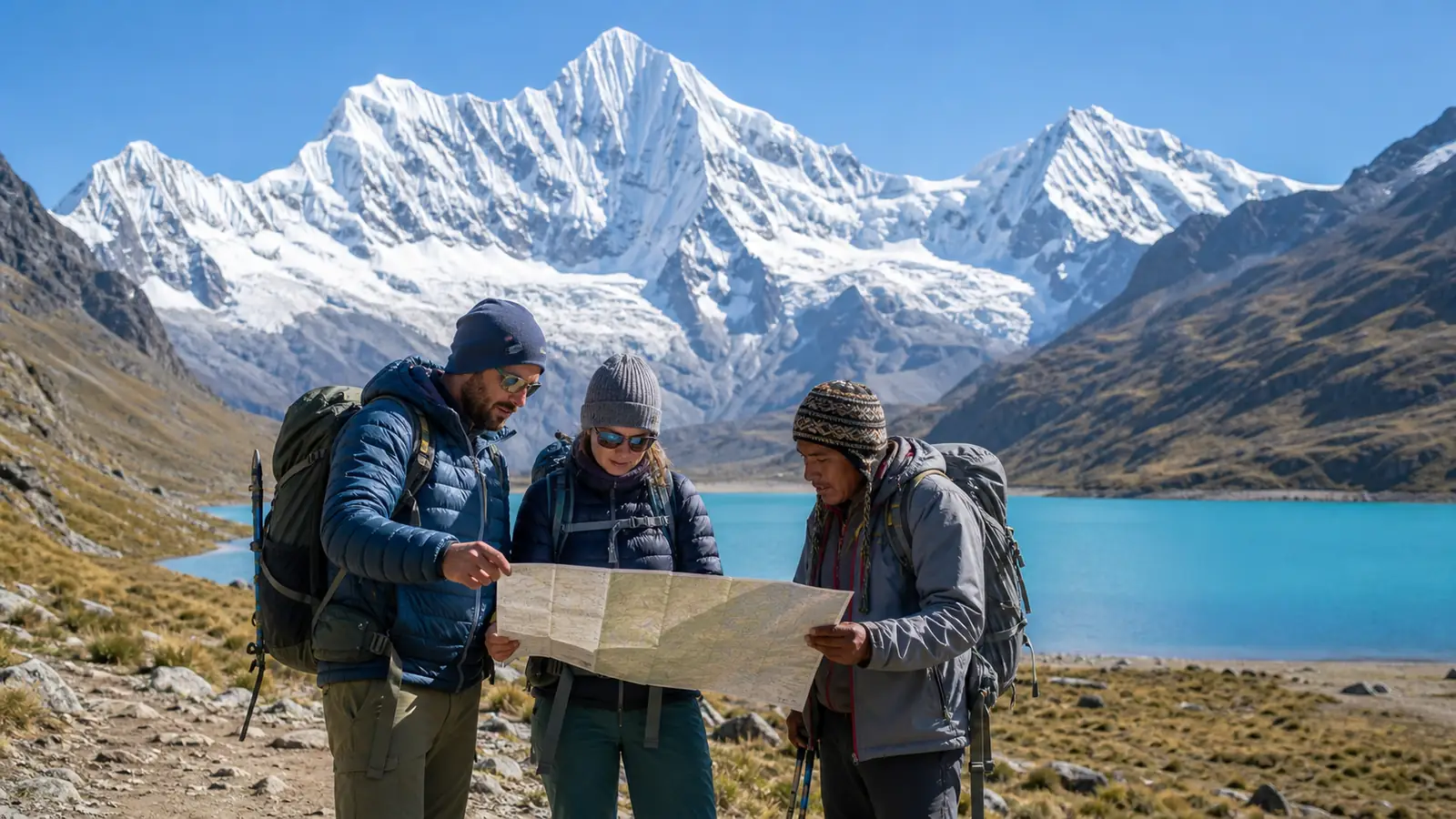
1. A waterproof paper topographic map. Paper provides the large picture, adjacent valleys and an emergency backup when electronics fail. Learn contour lines, scale, north and drainage patterns before departure.
2. An offline digital map and GPX track. Download the map tiles and route before leaving Huaraz. Open the files in airplane mode to prove they work. Store the planned line, camps, trailheads and possible exits, while remembering that a GPX file records one route—not every safe decision.
3. Local route knowledge. A qualified guide or current briefing adds information that neither map can show: damaged bridges, eroded traverses, temporary snow, community changes and the condition of alternate passes.
Carry power banks protected from cold, use a weather-resistant case and keep one navigation device independent from the group photographer’s phone. Satellite communication may add an emergency layer, but it does not replace judgment or a written response plan. Review the future Huayhuash safety guide before independent travel.
How to interpret an elevation profile
An elevation profile compresses a full hiking day into a line. Check the starting camp, pass height, total ascent, total descent and the length of the high exposed section. Maximum elevation alone can be misleading: a day with repeated climbs may be harder than one steady ascent to a slightly higher pass.
Also separate sleeping elevation from daytime maximum. The body may cross 4,800 meters and descend to a lower camp, which is different from sleeping near the pass. Combine the profile with the Huayhuash weather guide because wind, hail or wet ground can change the pace on the same line.
Common map-reading mistakes
- Treating every line online as the same circuit.
- Confusing Llamac, Cuartelhuain and the first campsite.
- Assuming a dotted high variant is the standard trail.
- Following a GPX track after conditions make that line unsafe.
- Ignoring contour spacing and underestimating steep terrain.
- Forgetting that a short horizontal distance may contain a full pass.
- Depending on mobile service for map tiles or emergency contact.
- Ending the planned track before the confirmed road pickup.
Offline planning checklist
- Match the route file to the booked itinerary and direction.
- Mark the actual drop-off, camps and return pickup.
- Record each primary pass and conservative turnaround decision.
- Download a wider regional map, not only a narrow trail corridor.
- Save operator, driver and emergency contacts offline.
- Distribute navigation files across two devices.
- Carry paper backup and a simple compass.
- Check batteries each evening and protect them from frost.
- Ask for a current trail briefing immediately before departure.
Navigation belongs beside clothing, shelter and medical preparation. Use the Huayhuash packing list and the best time to hike Huayhuash guide to complete the system.
Route notes to confirm at the pre-trek briefing
A final briefing should convert the regional map into a trip-specific plan. Ask the guide to trace every walking day, identify the intended pass and name the planned campsite. Confirm which alternative will be used if snow, heavy rain or trail damage closes the preferred line. This conversation also prevents similar place names from creating different expectations among hikers, drivers and the support crew.
Record whether lunch is carried over the pass or prepared after descent, where safe water is expected, and which stages offer realistic evacuation toward a road or community. An exit line on a screen may still require many hours of walking and a vehicle arranged from Huaraz. Marking that line is useful only when the communication and transport plan behind it also exists.
Finally, compare the guide’s current information with the downloaded track. A small difference near camp may be routine; a different valley or high-pass variant deserves an explanation. Save the confirmed version with the departure date so the group does not accidentally open an older file. If traveling in a supported group, follow the leader’s route decisions instead of splitting up to preserve a personal recording.
Frequently asked questions
Is the Huayhuash Trek a complete loop?
The classic longer route forms a circuit around the range, but shorter trips may be traverses that exit before Huayllapa and Jahuacocha. Read the daily sequence rather than relying on the word “circuit.”
What is the highest pass?
It depends on the route. Programs using Trapecio, Cuyoc or San Antonio variants can approach or exceed 5,000 meters. Standard pass elevations vary by source and GPS measurement.
Can I download one GPX file and follow it?
A GPX track is useful but insufficient alone. Carry offline base maps and paper backup, confirm the current route locally and be prepared to change plans when conditions require it.
Does the trek have phone signal?
Do not plan around continuous cellular coverage. Remote valleys and high passes can have no dependable signal. Download everything in Huaraz and consider an appropriate satellite communicator.
Which route includes the famous turquoise lakes?
The Carhuacocha-to-Siula stage on the eastern side provides the best-known chain of glacial-lake views. The precise viewpoint line must be confirmed for the selected itinerary and conditions.
Is five days enough?
Five days can cover an excellent eastern and southern traverse, but not the full classic loop. It remains demanding because high passes are concentrated into a short schedule.
Where should I begin planning?
Choose the route duration, study its pass sequence, confirm transport and then assess acclimatization, fitness and budget through the Huayhuash Trek cost guide. Browse the Huayhuash trekking collection for the operator’s current programs.
Editorial and map-accuracy note
Regional facts were checked against the official SERNANP Cordillera Huayhuash page and the official MINCETUR tourism inventory. The route sequences were checked against Explora el Peru’s current five- and eight-day programs. Pass elevations are rounded planning values, not survey coordinates. Obtain current cartography and a local route briefing for the actual departure date.